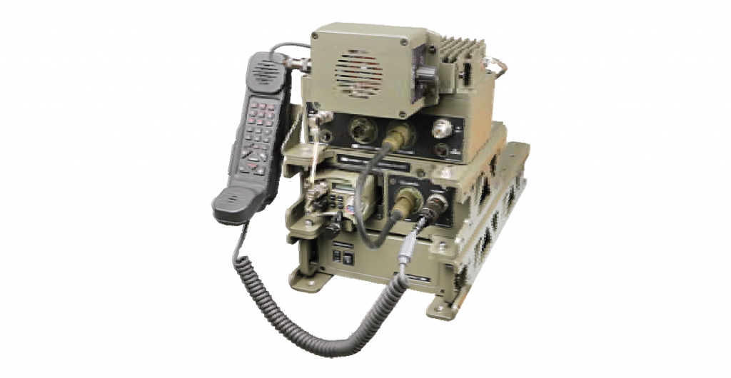
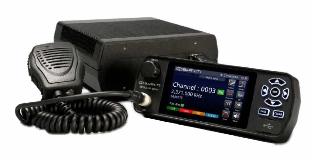
977 HF Vehicle tracking system

The Barrett 977 HF tracking system is an automatic vehicle locating and tracking package which utilises the Navstar Global Positioning System (GPS) and a HF network consisting of a central control station and mobile stations.
The 977 computer based tracking system, located at the control station, automatically polls vehicles or vessels within the HF network, retrieving their position using a standard Selcall format based on CCIR493-2. The position of the vehicle or vessel being tracked is then displayed on a computer based map.
- Monitors, tracks, follows or finds vehicles on maps stored in the control station computer.
- Reports alarm conditions immediately upon receiving a distress signal issued by any vehicle or vessel and automatically displays its location on the appropriate map.
- Warns when vehicles or vessels approach a user defined exclusion zone.
- Vehicle or vessel positions can be recorded for later playback and analysis.
- Provision to read and update textual information about specific locations on the map (way points).
- Way points are colour coded dots which are placed on the map by the user.
- Provision to retrieve and store textual information about every vehicle or vessel in the fleet.
- Displays the current mobile position as an icon, continuous track or a trail of points.
- Telemetry displays the mobile Selcall number, speed, distance, calculated arrival time and bearing to a selected destination, which can be a location on the map or the location of another mobile.
- Maps can be scanned by the customer using an A4 flat bed scanner and registered using the inbuilt registration system in the tracking software.
- Displays distances in metres, kilometres or nautical miles. System accuracy in the order of 15 to 30 metres (when subject to the effects of selective availability 100 metres).
- Transceiver function access which includes Pagecall, Statcall and the ability to control most main transceiver functions from the computer screen.


 ไทย
ไทย


